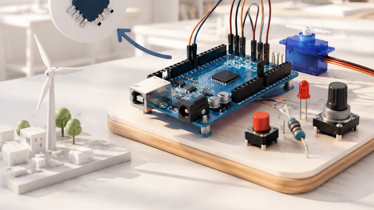
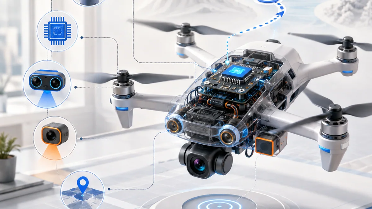
You can understand Unmanned Aerial Vehicles without treating it as magic or memorizing a long list of terms. Start with one simple mental model, connect each part to an everyday example, and then add the technical details that make the system dependable.
The big idea: A drone stays in the air by controlling forces many times each second, then combines sensing, estimation and planning to fly a safe mission.
Begin with diagrams and simulation. Real flight needs trained supervision, a safe location and the rules for the country where you fly.
Why this matters
A multirotor is a fast-moving control system. It stays in the air by measuring its motion and changing motor thrust many times per second, which makes safe testing and good data essential.
By the end of this guide, you will be able to:
- Explain lift, weight, thrust and drag during hover and motion
- Trace the flight-control feedback loop from sensors to rotor speed
- Plan a waypoint mission with boundaries and recovery actions
- Create a safe test plan using simulation, checklists and flight logs
The goal is not only to recognize the words. It is to explain the system, predict what it will do, and design a small test that produces evidence.
1. Forces, rotors and attitude
The question: How can four rotors lift and steer one aircraft?
Each rotor accelerates air downward and produces an upward thrust force. In a steady hover, total upward thrust balances the drone’s weight. Increasing all rotors makes the drone climb. Changing rotor speeds by different amounts rolls, pitches or yaws the aircraft. To move forward, the drone tilts so part of its thrust points forward while enough still points upward.
Think of it like this: Balance a tray on your hands: raise both hands to lift it, or raise one side more to tilt it toward a direction.
A concrete example
A quadcopter pitches forward by changing rotor thrust so the whole frame tilts. The angled thrust now has a forward part, so the drone accelerates ahead.
The flow: Rotor thrust → Force balance → Frame tilts → Motion changes
Try it yourself
- Draw a side view of a hovering drone.
- Add equal upward thrust and downward weight arrows.
- Tilt the thrust arrow and split it into upward and forward parts.
Quick check — What must be true for a drone to hover at constant height?
Its total upward thrust must balance its weight, with no unbalanced vertical force.
2. The flight-control loop
The question: How does a drone notice and correct a tilt?
The flight controller reads gyroscopes and accelerometers in an inertial measurement unit, then may combine barometer, compass and GNSS data. An estimator turns noisy measurements into a best estimate of attitude, height and position. The controller compares that estimate with the requested state and adjusts motor commands to reduce the error.
Think of it like this: Carrying a full cup, your inner ear and eyes notice a tilt and your hands make many tiny corrections before water spills.
A concrete example
A gust creates a 6° roll error. The controller briefly increases thrust on the low side and reduces it on the high side until the measured roll returns near the target.
The flow: Sensors measure → Estimator combines → Controller compares → Motors correct
Try it yourself
- List which sensor could help estimate rotation, height and outdoor position.
- Invent one bad reading for each.
- Explain why comparing several sensors can reveal a problem.
Quick check — Why does the controller use an estimated attitude instead of one raw sensor value?
Raw measurements contain noise and limitations; an estimator combines evidence over time to produce a more useful state estimate.
3. Modes, waypoints and boundaries
The question: How does a drone turn a goal into a route?
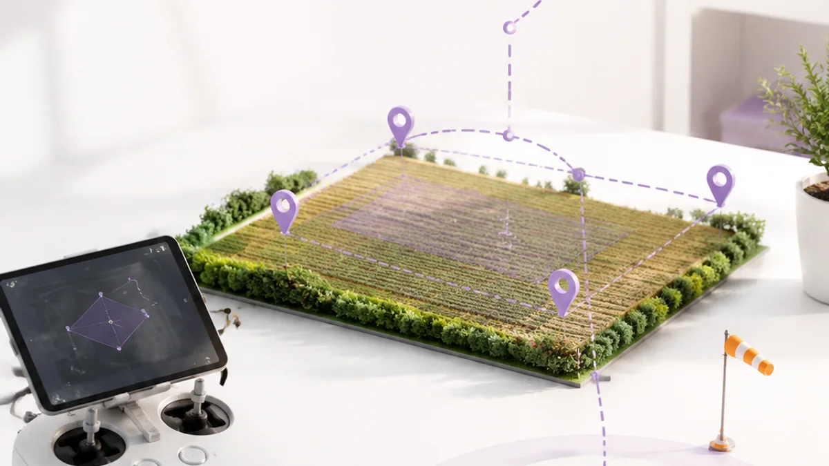
A flight mode decides which quantities the pilot or autopilot controls. An autonomous mission can connect waypoints with heights, speeds and actions. The navigator turns the next waypoint into position targets, while lower control loops stabilize the aircraft. A geofence, home point and return or land action limit what happens when the plan cannot continue.
Think of it like this: A map gives the next destination, a driver follows the road, and guardrails keep the vehicle inside a safer region.
A concrete example
A survey mission climbs to a safe height, visits four points around a field, returns above the launch area and lands only after the landing zone is clear.
The flow: Mission goal → Waypoint target → Stable flight → Return or land
Try it yourself
- Sketch a four-waypoint survey route.
- Add a home point and no-go boundary.
- Write responses for low battery, lost control link and poor position data.
Quick check — Does GNSS position automatically prevent a drone from hitting a tree?
No. GNSS estimates position; obstacle detection and avoidance need suitable sensors, software and a safe operating plan.
4. Test safely and learn from logs
The question: How do engineers reduce risk before a real flight?
Testing should move from a diagram to software-in-the-loop simulation, restrained bench checks with propellers removed, and only then supervised flight in a legal open area. A pre-flight checklist confirms structure, battery, sensors, home position, weather, people and failsafes. Logs turn a surprising event into evidence that can be inspected.
Think of it like this: A theatre rehearses individual scenes, then a full run, before performing in front of an audience.
A concrete example
Before take-off, verify control direction and return settings in simulation, inspect every propeller, check the battery, confirm the flight area and name the person who can stop the test.
The flow: Simulate → Bench check → Controlled flight → Inspect log
Try it yourself
- Create a ten-item pre-flight checklist.
- Design one simulated link-loss test and its expected result.
- Choose three log values that would explain an unstable hover.
Quick check — Why remove propellers during most bench tests?
An unexpected motor command cannot turn the propellers into fast-moving blades that injure people or damage equipment.
Put the ideas together: Plan a safe aerial survey
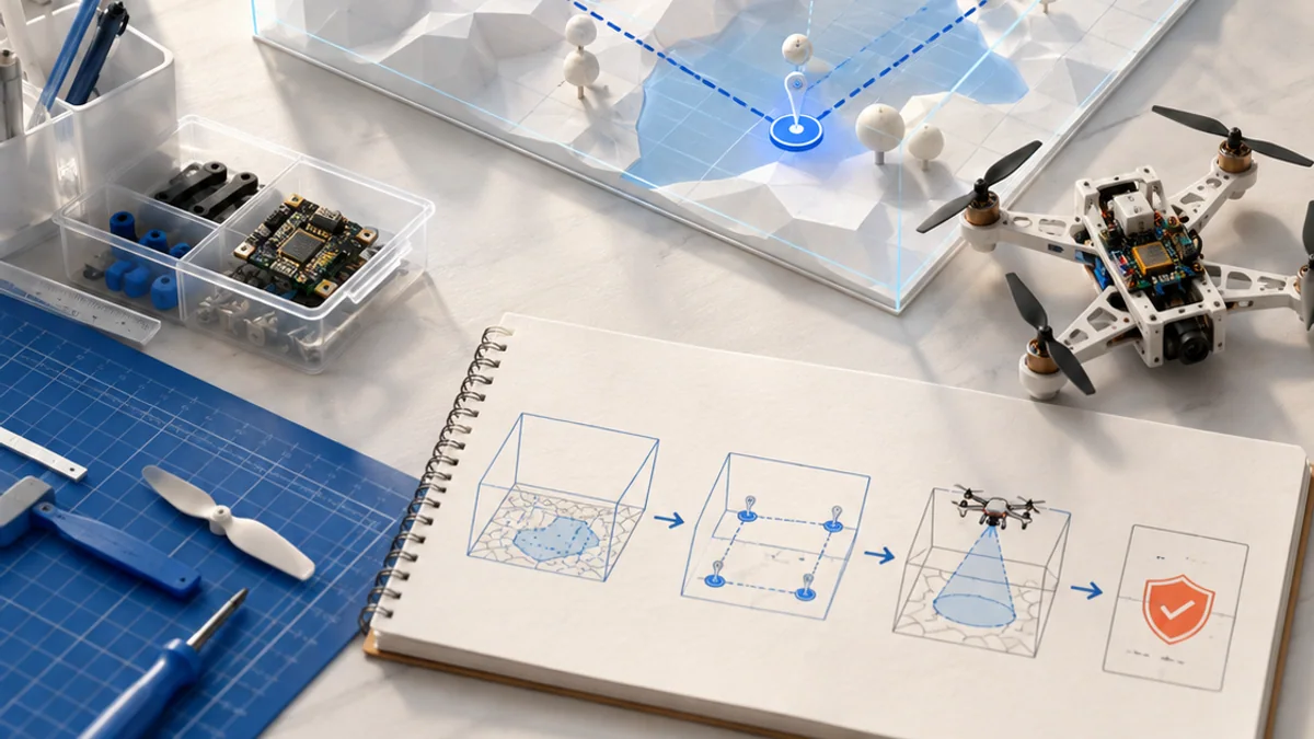
Design a simulated quadcopter mission that photographs four points while staying inside a clear operating area and responding safely to faults.
Your build plan
- Draw the aircraft system and force diagram.
- Map home, waypoints, heights and a no-go boundary.
- Define responses for low battery, link loss and unreliable position.
- Create simulation tests and a pre-flight checklist.
Evidence to keep
- Labelled aircraft and control-loop diagram
- Mission map with boundary and home point
- Failsafe decision table
- Test results or predicted flight log
An engineer does not stop at “it worked once.” Keep the diagram, record the conditions, repeat the test, and note what changed between attempts.
Important safety and quality notes
- Learn and test in simulation before operating hardware.
- Remove propellers and disconnect power before bench wiring or configuration.
- Use trained adult supervision, keep people clear and inspect lithium batteries for damage.
- Follow the current aviation rules and airspace requirements where the flight takes place; the FAA link is a United States example.
The examples in this article are educational models. Check component ratings, manufacturer instructions, local rules and appropriate supervision before using real hardware.
Vocabulary without the jargon wall
| Term | Plain-language meaning |
|---|---|
| Thrust | Force produced by accelerating air, used by the rotors to support and move the drone. |
| Attitude | The aircraft orientation described by roll, pitch and yaw. |
| IMU | An inertial measurement unit containing motion sensors such as gyroscopes and accelerometers. |
| Estimator | Software that combines measurements to calculate the most likely vehicle state. |
| Waypoint | A planned position, often with height and action information, in a mission. |
| Failsafe | A configured response intended to reduce risk when a fault or limit is detected. |
What to remember
A drone stays in the air by controlling forces many times each second, then combines sensing, estimation and planning to fly a safe mission. The professional habit behind the technology is equally important: define the result, observe the system, measure what happened, and improve one thing at a time.
Continue with the full Unmanned Aerial Vehicles learning path for the structured sessions, or explore the sources below when you are ready for deeper technical detail.
Sources and further learning
- Recreational Flyers and Community-Based Organizations — U.S. Federal Aviation Administration
- Flight controller hardware and setup — PX4
- Copter flight modes and failsafes — ArduPilot